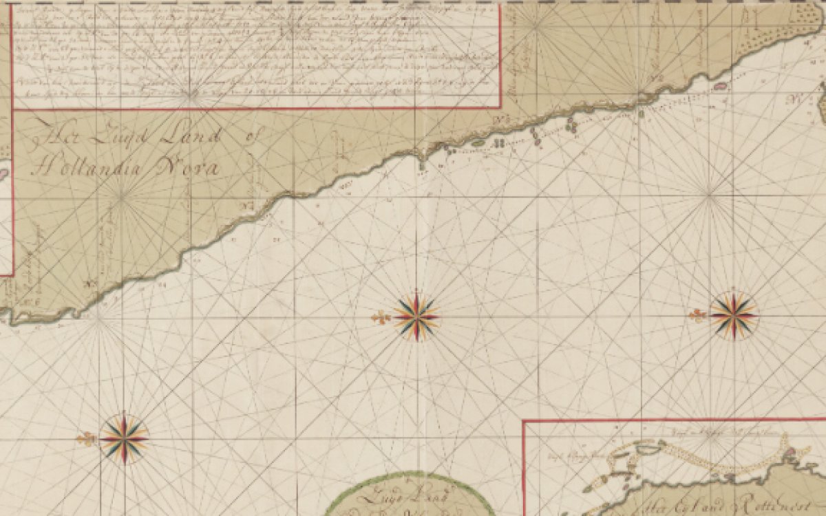
Gerard van Keulen, T Zuijd land ontdeckt door Willem de Vlamingh in de Maande van Jan an Febrii 1697 met t Yagt de Geelvink de Hooker de Nijptang ent Galjoot 't Weseltje [1697-1726], nla.obj-231306558
Held in the Map collection of the National Library of Australia are two Dutch manuscript charts, dating from the late 1690s, produced as a result of a voyage to Australia by William de Vlamingh (b. 1640)
They were first described in a 1985 book by the renowned historian of Dutch Australian exploration Prof Gunter Schilder who visited the Library in 1981. His book Voyage to the Great South Land, Willem de Vlamingh, 1696-1697 is held at the National Library.
The two charts, both named "The South Land explored by Willem de Vlaming in January and February 1697", show 1500km of the Western Australian coastline, from Perth to Exmouth. They were drawn by the cartographer Gerard van Keulen after Vlaminghs’ return to Amsterdam. They are beautifully done with rhumb lines and two coloured compass roses, drawn on standard issue gridded cartographic paper issued by the VOC. The charts are remarkably accurate, to within a tenth a degree of latitude. The text describes some of the voyage's discoveries, including Rottnest Island and the Swan River, which was named for the first time by Vlamingh. Vlamingh was particularly fascinated by the quokkas on Rottnest, described in surviving journals as bush rats 'as big as cats'. The text on the charts describe the rough country, the search for water, distant mountains, and sightings of Aboriginal people near Geraldton.
The charts came to the Library as part of a collection of rare maps donated in 1911 by Edward Augustus Petherick, a noted Sydney bookdealer who donated a large quantity of books, pictures and printed maps to the Library.
Images of the two maps can be found online here and here.
Copies are available through our Copies Direct service.