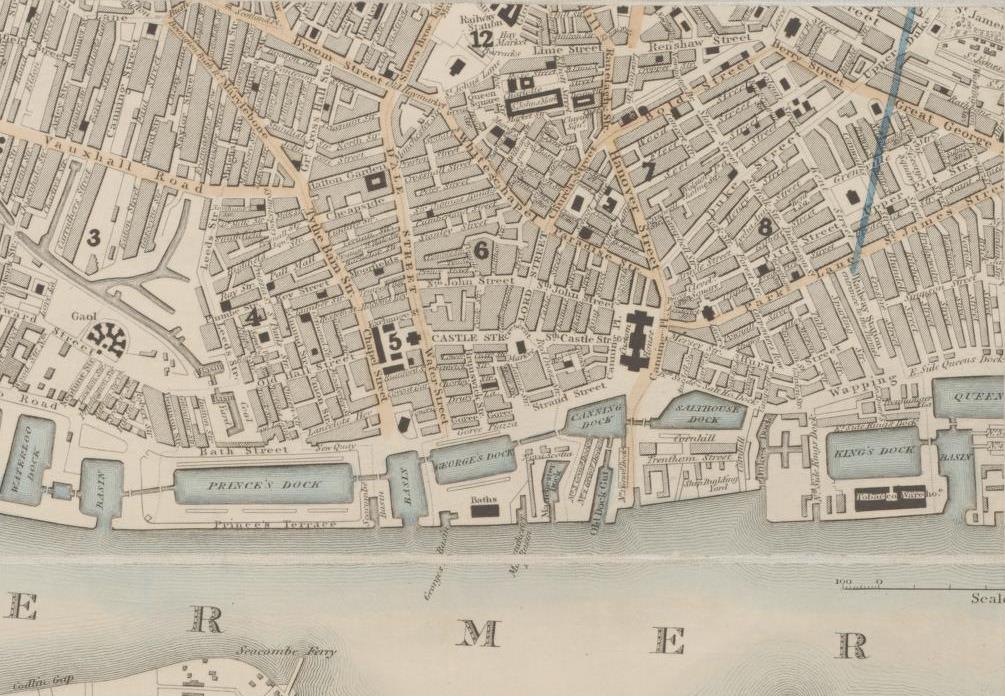
The Library has a large collection of early maps of London and other British cities and towns. City maps provide road and rail information, buildings, farms, industries, schools, churches, and many other features.
1. Search the Library’s catalogue
Enter the relevant city or town name eg “liverpool”, and select “Map” as the format. Date sort oldest to newest. Including the word "city" in your search may be useful in some cases.
To view only digitised maps, enter the relevant city or town name eg liverpool AND England AND map, and select “NLA digitised material” as the format.
Most maps on single sheets before 1900 have been digitised and can be zoomed in on for details.
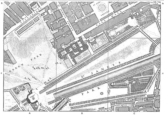
There are also several detailed reproduction atlases of London available, such as The A to Z of Georgian London. To find and request these, enter the name of the city or town, eg “london” AND facsimiles in the search box, and select “Map” as the format.

Excerpt showing St James' Square, Pall Mall and St James' Park, The A to Z of Georgian London, Harry Margary, Lympne Castle, 1981, MAPq 912.421 R684, Page 21, map sheet 10.
2. Request to view the map at the Library
If the map or atlas is not digitised, select "Request" at the top of the catalogue record and then "Select" the item you wish brought to the Reading Rooms.

